We need to give you an update on our research project into fences and their ecological impact.
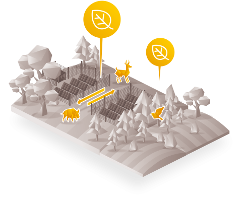
Launched in early 2024, the Polymor-FENCE project aims to analyze and understand the impact of fences associated with photovoltaic power plants on biodiversity and the ecological continuity of natural environments.
Using an integrated approach combining field observations, artificial intelligence and spatial modeling, the project is developing innovative tools designed to anticipate and mitigate these effects.
The second COTECH was held today, attended by public institutions, nature protection associations, ENR developers and researchers.
Caryl Buton, a partner in the project with his firm X-AEQUO, presented a detailed classification of fence typologies observed in the field. The aim is to take into account, in the analysis of impacts, various parameters such as the nature of materials (e.g. fixed metal fences), variations in height, mesh characteristics or ground anchoring devices.
At TerrOïko, our colleague Lucie Gendron has created a national ecological sensitivity map for fences. The aim of this map is to identify areas of high conservation value where fencing is likely to have a significant negative impact.
Romain Wenger, PhD, researcher at the Laboratoire Image Ville Environnement (LIVE) at the University of Strasbourg, collaborating with Eric Maire and Cybill Staentzel, gave an update on the contribution of AI to the project. He presented work on the automatic detection of fences from aerial images. After building up an image dataset, drawing on the publication under review "Wenger, R., et al. 2024. MultiFranceFences: A novel deep learning dataset for automated fence detection from multimodal aerial imagery", he has developed deep learning algorithms that will enable fences to be mapped on a large scale.
What lies ahead?
Another part of the project, dedicated to modeling development scenarios, is just getting underway. The aim is to compare impacts with and without fencing.
From an operational perspective, we will also soon be using a QField application dedicated to collecting field data. This will enable us to refine the fencing map derived from AI analysis of aerial images.
And all this data should be made available to the project's external partners next year!